Software MOBILITY Client
Software MOBILITY Client
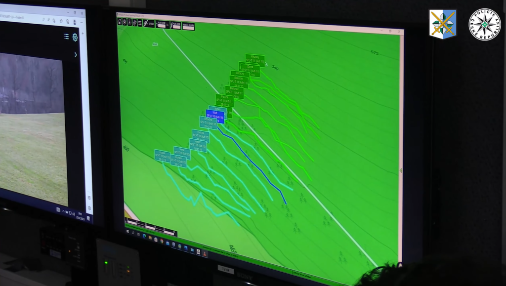
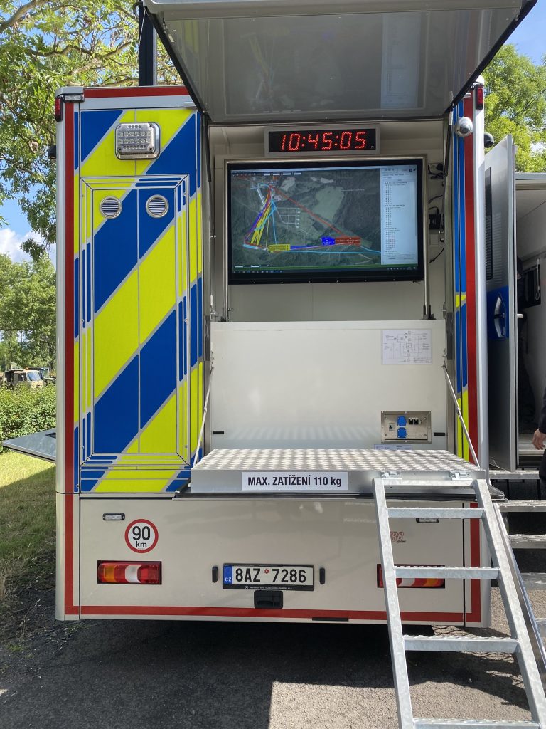
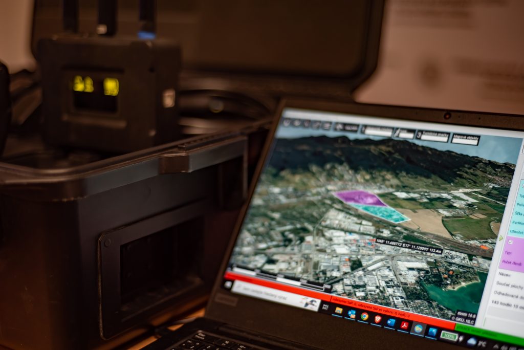
The MOBILITY Client software is a GIS (Geographic Information System) for working with data from location-based systems such as pTRACK, MBP (Mobile Secure Platform), or other GPS devices. MOBILITY Client has been designed to display multiple layers on a 3D map base with the ability to upload multiple types of maps and elevations as needed freely. The secure software allows the administrator to set access levels under individual login credentials and authority.
The MOBILITY Client software allows, among other things, the setting of values such as call sign, module color, symbol (tactical marker), and width of the traveled track. The commander can signal the user in the field from the pTRACK systems using a short or long tone. Using the diagnostic function, the user can signal active modules in the field and check their network connection status, GNSS, battery status, number of satellites received, and the age of position information…
Basic features of the MOBILITY Client software:
– Display of module positions on 3D online/off-line map base;
– Turning off and hiding modules;
– Search action planning – based on selection of area/sector, number of search group members, calculation of estimated search time;
– Display and archiving of findings on the map;
– Color resolution of teams;
– Modification of information on finds;
– Creation of reporting documentation (layers with records, possibility to display different periods of activity);
– Instant saving of the application snapshot;
– Import/export of records;
– Remote access option;
– Automatic system updates;
– Support of map bases for the Czech Republic, Slovakia, Ukraine, and Poland; (Possibility to add more)
– Support for language versions in Czech, English, and Ukrainian; (Option to add more)


Online/Offline
Ability to play back recordings from operations, pTRACK, or other GPS devices connected to a common secure server.
Easy to integrate
Easy integration with existing location systems, mobile phones, radios, etc.
Data security
A secure process for collecting data and evidence from location devices, eliminating outside interference or tampering.
Contact us!
FROM 08:00 TO 18:00 (WORK WEEK)Do you have specific questions about our services? We will be happy to answer them, leave us a message and we will get back to you with more information!
+420 603 986 732 matej.pupak@sefor.cz Budějovická 862/52, 140 00 Prague 4 Czech Republic